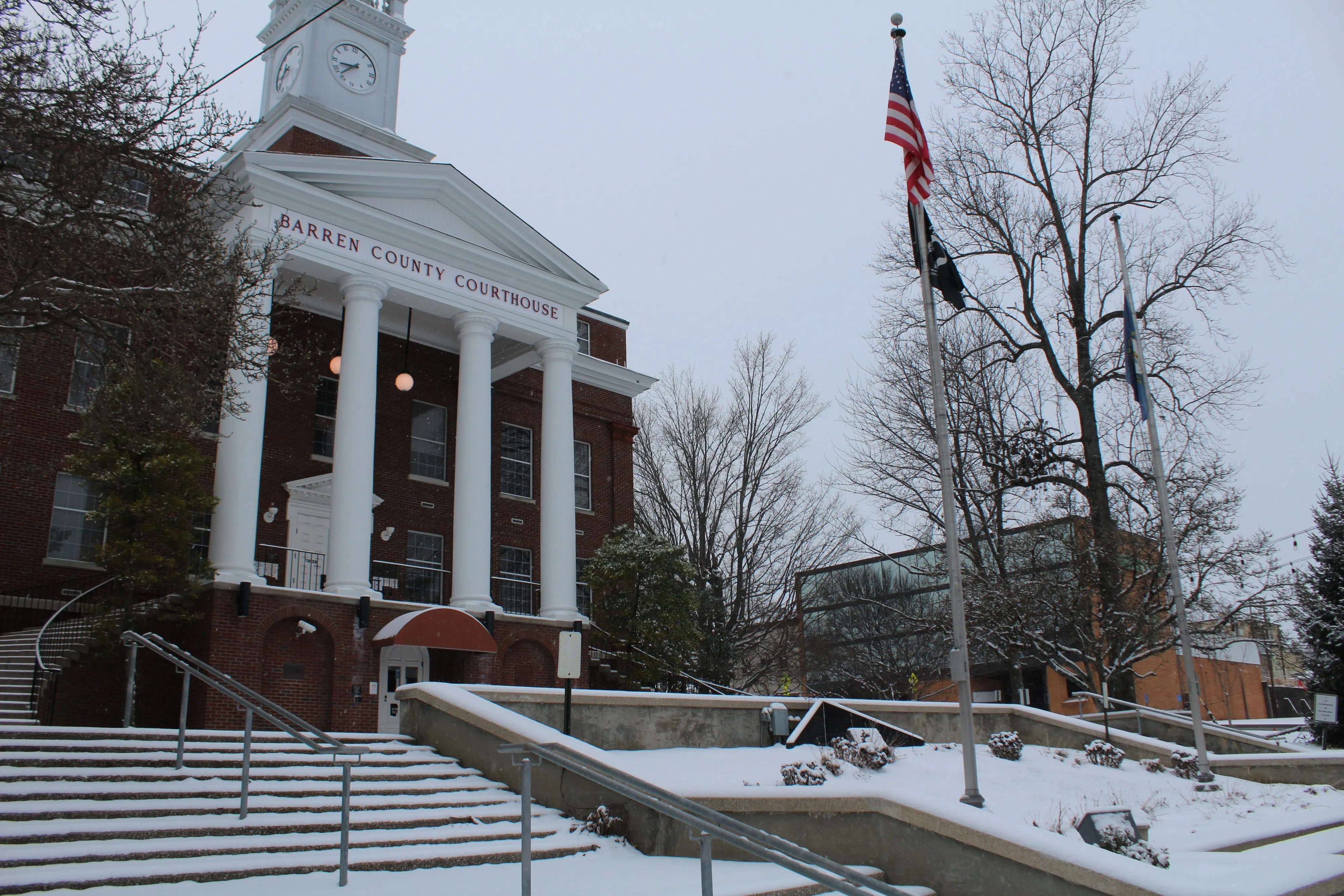
Barren County residents awoke this morning to find their lawns, cars and houses blanketed in snow. As the temperature remains below freezing, the National Weather Service has put much of eastern and southcentral Kentucky under a wind chill advisory. Michael Crimmins/Glasgow News 1.
STAFF REPORT
Glasgow News 1
The National Weather Service issued a winter storm warning for Barren County and much of eastern and southcentral Kentucky as snow blankets the ground with a second snowfall is in the forecast.
The first wave of snowfall is moving through the region this morning with amounts between 2 and 3 inches so far,” the warning states. “The second wave of snowfall will move through this afternoon and this evening with an additional 1 to 3 inches possible.”
The impact of this winter storm warning, according to the NWS, are slippery roads which could delay or inhibit morning and evening commutes.
Barren County Sheriff Kent Keen confirmed the NWS saying while many of the main roads are “reasonable,” the secondary roads are still “slick and hazardous.” He said the Sheriff’s Office has been working minor vehicle collisions on virtually every county road.
In the city, Glasgow Police Department Public Information Office Terry Flatt said while the department has responded to a couple incidents there has been nothing major. He said much of the roadways are still covered with snow, but crews — both statewide and locally — are out scraping and salting. Given that fact, and given that more snow is inbound, Flatt echoed the NWS and asked people to stay home “and let the crews do the work” unless necessary.
“If you must travel, keep an extra flashlight, food, and water in your vehicle in case of an emergency,” the NWS states.
The winter storm warning is in effect until tomorrow, Jan. 16, at 6 a.m. For more information on Kentucky’s road conditions click here.


Comments